
Why Topographic Surveys Matter More on Redevelopment Sites
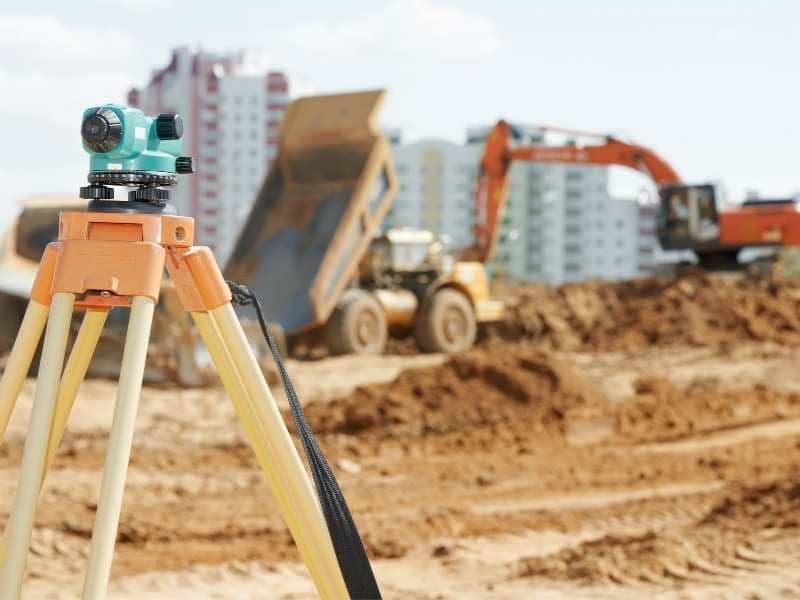
Look at an old lot from the sidewalk and it seems simple enough. Flat ground, some weeds, maybe an old curb. But that same lot can hide slopes, dips, and old grading work that nobody notices until digging starts. A topographic survey catches all of that ahead of time. On a redevelopment site, that early look at the land matters more than almost anything else in the planning process.
Redevelopment means building on land that’s already been used once. That past use leaves marks on the ground, even when those marks aren’t easy to see. A topographic survey brings those marks into full view before design work begins.
Hidden Site Conditions That Affect Redevelopment Planning
Walk across most redevelopment sites and you won’t spot much out of the ordinary. The ground looks fairly even. Maybe there’s a slight rise near the back corner. Nothing seems worth a second look.
That’s exactly the problem. Old sites often carry small elevation changes left over from grading work done years or decades ago. A patch of ground might sit a foot higher than it should because of fill added during an old project. A drainage swale might run through the middle of the lot without any visible sign from the surface.
These hidden details matter a lot once design work starts. A topographic survey picks up every one of these small changes, turning a lot that looks plain and simple into one that’s actually well understood.
How Existing Elevation Data Helps Repurpose Older Properties
Turning an old property into something new means working with land that’s already been shaped by its past. A topographic survey gives a clear, current picture of exactly how that shaping happened.
This picture matters most when a design team is trying to fit a new use onto an old footprint. Maybe an old retail building is becoming apartments. Maybe an old warehouse lot is becoming a small park. Either way, the design has to work with the real elevations on site, not with a rough guess based on how the land looks from a quick walk-through.
Accurate elevation data lets designers see the property as it truly stands today. That real picture becomes the base for every decision that follows.
Why Redevelopment Projects Need Accurate Ground Information Before Design Changes
Every redevelopment plan runs into the same basic question. What does the land actually look like right now? Without a clear answer, design decisions end up based on assumptions instead of facts.
A topographic survey answers that question directly. It shows exactly how the ground rises and falls across the site, which helps engineers and designers spot constraints early. A low spot that collects water might rule out a certain building location. A steep section near one edge might limit where a driveway or walkway can go.
Catching these constraints before design work moves forward saves a lot of trouble. A plan built around real information holds up far better than one built around a guess.
Using Topographic Surveys to Coordinate New Improvements With Existing Site Features
Redevelopment rarely means starting with a clean slate. Old pavement might still be sitting there. Drainage paths carved out years ago might still be doing their job. Grades along the property edge often connect to a street or a neighboring lot that isn’t changing.
A topographic survey maps all of this alongside the elevation data, which helps new designs fit around what’s already there instead of ignoring it. A new parking area might need to line up with an existing drainage path so water keeps moving the way it should. A new building pad might need to match the grade along an existing sidewalk so the two connect smoothly.
This kind of coordination keeps new work from clashing with the site’s existing features, and that only works when the survey data is accurate from the start.
Reducing Unexpected Site Issues During Redevelopment Construction
Construction surprises cost time and money, and old sites are full of potential surprises. A topographic survey done early helps project teams spot possible trouble spots before equipment ever shows up.
Maybe the survey reveals a grade change that will require extra fill in one corner of the site. Maybe it shows a low area that needs attention before paving begins. Either way, the project team gets a chance to plan around these issues instead of reacting to them mid-construction.
This kind of early warning keeps the project on schedule. Teams that know what to expect can plan their work accordingly, instead of pausing construction to figure out a fix nobody saw coming.
Frequently Asked Questions
Why are topographic surveys important for redevelopment projects?
They reveal the true current shape of the land, including elevation changes and old grading work that aren’t visible during a simple walk-through, which helps teams plan more accurately.
What information does a topographic survey provide on an older redevelopment site?
It provides detailed elevation data along with the location of existing features, giving designers a clear and current picture of the property before any new design work begins.
How can a topographic survey help before redesigning an existing property?
It gives designers accurate ground information early, which helps them identify site constraints and plan a layout that works with the land instead of against it.
