
Why Redevelopment Projects Begin With Accurate Property Data
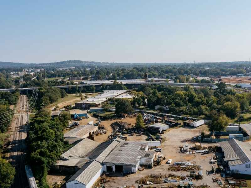
Redevelopment sites rarely start with a clean, empty lot. There’s history buried in the ground. Or hidden under pavement. Or sitting quietly behind old fences. That’s why land surveying comes first, before design work, before permits, before anyone commits to a plan. Many redevelopment sites carry decades of past use. Starting with accurate data keeps a project grounded in facts instead of guesses.
Reconstructing the Site Before a New Plan Is Drawn
Redevelopment doesn’t start with a blank sheet of paper. It starts with what’s actually there right now. Old plans and past uses can hint at what a site used to be. But they don’t always match what’s standing today.
A current survey records the real conditions. This means the existing buildings, paved areas, utility points, and how people and cars move through the site. Many redevelopment sites have gone through several rounds of use over the years. A building might have been added onto more than once. A parking area might have shifted. None of this shows up right unless someone measures it again.
Comparing Current Conditions With Older Property Records
Deeds, plats, and old surveys tell a story. But it’s not always the story of today. Lines drawn decades ago can be different from where a fence or wall sits now. Easements listed in old paperwork might not match where utility lines run today.
This gap between old records and real conditions causes trouble if it’s found too late. A design based on outdated lines can end up crossing into a neighbor’s land. A plan that assumes an old easement is still active might miss a utility line moved years ago. Checking the paperwork against the real site early catches these mismatches before they turn into costly redesigns.
Finding Constraints Left Behind by Previous Development
Every site carries leftovers from what came before it. Some are easy to spot. Others are not. Old utility routes, buried retaining walls, drainage features, and shared driveways can all sit just below the surface of a quick site visit.
These leftovers matter because they can limit what’s possible on the site. A retaining wall that you can’t see from a walkthrough might still be holding something up. An old drainage ditch might be doing more work than it looks like. A shared driveway from a past owner might carry legal weight that affects how the new project can use that access point. Finding these problems during the data-gathering stage, instead of mid-construction, keeps the project on schedule and on budget.
Understanding What Can Stay, What Must Move, and What Can Be Reused
Not everything on a redevelopment site needs to go. Some existing features can stay as part of the new project. Others need to move. A few might even save money if they get reused instead of rebuilt.
Accurate property data gives the team what it needs to make these calls with confidence. A solid piece of pavement might work as a base for new parking. A utility hookup might be usable without moving it. On the other hand, a building sitting where new construction needs to go clearly has to come down. These choices affect cost. They affect how the project gets phased. They affect how well the design comes together. Guessing at this stage leads to rework later. Measuring it leads to a plan that actually fits the site.
Giving the Redevelopment Team One Reliable Base Map
Redevelopment projects involve a lot of people. Surveyors, engineers, architects, contractors, and owners all need to look at the same site information. Otherwise, the project starts pulling in different directions.
A reliable base map fixes this problem. It gives everyone on the team one shared, measured starting point. Not separate guesses pieced together from old papers and quick site visits. When the surveyor’s data matches what the engineer is designing around, and what the contractor is pricing, fewer conflicts show up later. This matters a lot in St. Louis, where redevelopment sites often involve many people and years of permit history. A shared base map keeps the project moving from early planning into design without surprises from mismatched information.
Frequently Asked Questions
Why does land surveying matter more for redevelopment sites than new construction?
Redevelopment sites carry history that new sites don’t. Old structures, utility routes, and boundary changes build up over time. Accurate surveying is needed to sort out what’s really there from what old records assume.
How can old property records cause problems on a redevelopment project?
Boundaries, easements, and site features recorded years ago may not match today’s conditions. Trusting outdated records without checking them on site can lead to design mistakes or fights over property lines.
What kinds of hidden problems show up on redevelopment sites?
Old utility lines, buried retaining walls, drainage features, and shared access agreements are common. These often aren’t visible during a basic walkthrough and need proper surveying to find.
How does accurate property data affect redevelopment costs?
It helps the team decide what existing features can be reused instead of rebuilt. Reusing pavement, utility hookups, or structures can lower costs. Missing a hidden problem can lead to expensive rework.
